With the darling buds of May, all shook up and Fall fast approaching, many people are starting to dread the coming of the rain and snow. But aside from weather forecasts, how else can one tell the weather?
Answer: cloud watching. Yes, that innocent, childhood activity can also be a fairly accurate way to determine whether or not you should get your umbrellas or snow pants out of the closet. Often, you’ll hear old-timers talk about how you can tell whether it will rain or snow depending on the color of the clouds: black clouds mean rain, white clouds mean snow.
Of course, we know that’s not entirely true, and here’s why:
But first…
Let’s make something clear: ALL clouds are technically white in color, with dark or black clouds getting their shade from the amount of moisture it carries. If a cloud is white, that means there is a very small amount of moisture inside of it. To make up for this lack, white clouds often contain various other types of gaseous substances that keep it afloat and make it less dense than black clouds. Because it is less dense, white clouds usually float higher; also because they’re less dense, more sunlight passes through them, hence their white color.
Black clouds, on the other hand, are the exact opposite: they are clouds that contain a large amount of moisture, making them heavier and denser. Black clouds often float a lot lower than white clouds, and the dense concentration of water vapors inside of it reflects and absorbs most of the sunlight that hits it, giving it its ominous black appearance.
For rain or snowfall to occur, the millions of minuscule water droplets inside the cloud have to condense around microscopic particles of dust, smoke, or other particulate matter in the atmosphere. Once that particle is heavy enough, it falls down to earth as precipitation. If the atmospheric temperature is above freezing, this precipitation falls as rain; conversely, if the atmospheric temperature is at or below freezing, then it falls as snow.
Types of Clouds

In essence, it doesn’t matter whether it’s a black cloud or a white cloud: rain or snow is dependent on the temperature, not the color of the cloud. However, different clouds can mean different weather, and knowing the difference might just save you from a downpour or a flurry! Clouds are segregated into 4 categories: High clouds, Mid-level clouds, Low clouds, and special clouds. Each category is defined by how high the cloud is floating, and is then further segregated into sub-categories depending on their shape.
High Clouds (Clouds that form between 16,500-45,000 feet)

Cirrus Clouds – Thin, wispy, and delicate, these feather-like clouds are mostly made up of small ice crystals spread across a large area. Cirrus clouds are the kind of clouds you see on an almost-clear day, and while they can be pleasant to look at, they are also harbingers for a change in weather: their appearance comes from the wind currents that spread them out into their shape.
Cirrostratus Clouds – Similar to cirrus clouds, cirrostratus clouds are also wispy; but rather than long, thin strands, cirrostratus clouds cover the sky in a thin veil. Usually encountered during winter, cirrostratus clouds also cause halos to appear around the sun and the moon, not to mention cause the appearance of partial or complete halo phenomena around the sun or the moon. Be careful though: cirrostratus clouds are almost always followed by rain or snow a day after.
Cirrocumulus Clouds – small, thin, patchy, puffy, and sheet-like, cirrocumulus clouds often look like ripples in the sky, giving it a grainy looking texture. It’s also sometimes called “mackerel sky”, thanks to how they look like fish scales when covering a large enough area of the sky. In temperate climates, this often indicates cold, but fair, weather; in tropical countries, however, this could indicate the coming of a hurricane.
Mid-level Clouds (6,500-23,000 feet)
Altocumulus Clouds – Altocumulus clouds are small, mid-level clouds that are made up of smaller patches of clouds called cloudlets. These cloudlets usually appear like rounded clumps and can be made up of several layers of grey and white. These clouds do contain water droplets, but they aren’t enough to produce rain. Altocumulus clouds are often signs of fair weather.
Altostratus Clouds – Altostratus clouds, also known as snow clouds, are gray or blue-gray clouds that completely cover the sky. They’re made of dense ice crystals and water droplets that can precipitate either continuous rain or snow.
Nimbostratus Clouds – Nimbostratus clouds are what people think about when they think rain clouds or snow clouds; dark grey or almost black at times, these featureless clouds are jam-packed with ice crystals and water droplets so thick, they can block out the sun. Aside from being gloomy and foreboding, nimbostratus clouds are often associated with being the vanguard of a mid-latitude cyclone. If this cloud looks like trouble, it’s because it is.
Low Clouds (less than 6,500 feet)
Cumulus Clouds – Cumulus clouds are what people think about when they’re asked to draw a generic white cloud: fluffy and puffy, cumulus clouds look like heaping piles of cotton, although they vary in shapes and sizes, making them very popular with cloud watchers. Cumulus clouds are breathtakingly beautiful during sunsets and are often indicators of fair weather.
Stratus Clouds – Stratus clouds are low-level clouds that look thin, white sheets that often cover the entire sky. Because they’re thin, stratus clouds rarely produce rain or snow. Stratus clouds appear as fog in mountains and hills, thanks to how low they float. They bring fair weather, albeit a bit gloomy.
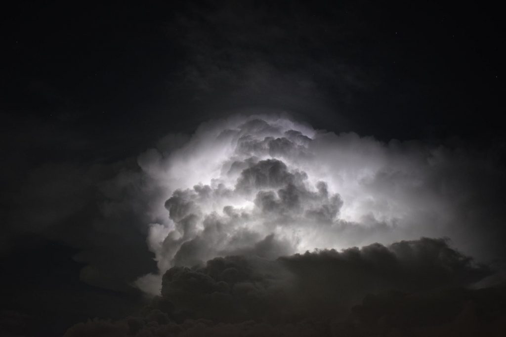
Cumulonimbus Clouds – Cumulonimbus clouds are tall, gargantuan clouds that tower over the horizon. These clouds are created by powerful upward air currents pushing water vapors to its top. Also known as Thunderheads, Cumulonimbus clouds bring sleet, rain, hail, and sometimes, even tornadoes. Stay vigilant!
Stratocumulus Clouds – Stratocumulus clouds are large, patchy, dark, and rounded clouds that are grouped into a honeycomb, lines, or waves. They float relatively low, usually below 2 kilometers, and can be observed in most parts of the world, not to mention being the most common type of cloud. Stratocumulus clouds often indicate that while the weather at the moment is fair, a storm might hit soon.
Special Clouds

Contrails – A bit of confusion exists on whether contrails should be classified as clouds, considering that they are man-made. Contrails are made by high-altitude planes, when their engines condense water vapors in the air, leaving behind thin, albeit clear, lines behind them. Although some people don’t think they should be considered as clouds, they are technically clouds in the dictionary definition of what a cloud is: condensed water droplets created from water vapor.
Mammatus Clouds – Named for their similarity to mammary glands, Mammatus clouds aren’t actually a separate type of cloud: rather, they can be any other type of cloud with their bottoms shaped like pouches. This is due to the cold air inside the cloud sinking down to the ground. While unique looking, mammatus clouds can indicate that severe weather conditions are about to hit the area.
Orographic Clouds – Orographic clouds are formed because of the forced lifting of air due to topographical features like mountains or cliffs. When air passes through a mountain, it usually oscillates up and down as it moves, creating vortices that push air upwards. They can, however, also be formed sea breezes. Orographic clouds usually bring afternoon thunderstorms.